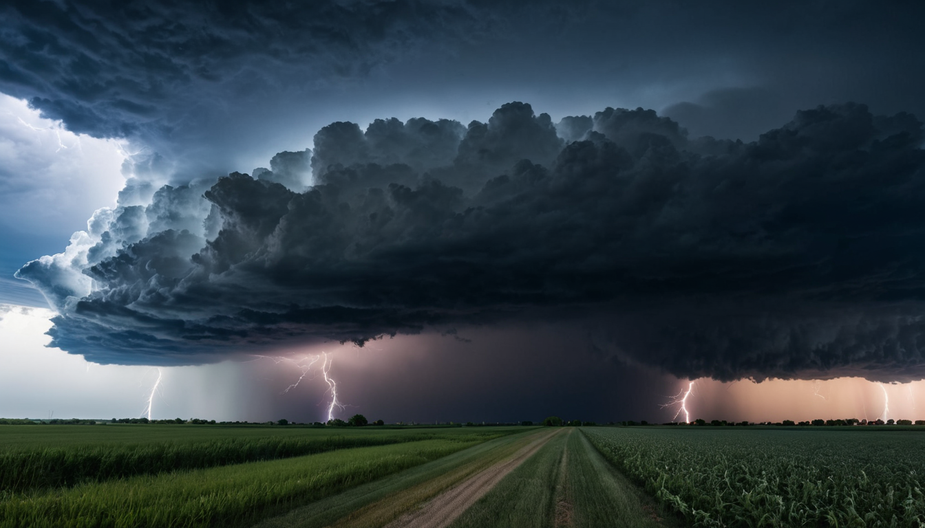
Spring is showing off in Central Illinois today with warm temperatures and the promise of scattered showers later in the day. Keep an eye on the skies as conditions are likely to change overnight, bringing a wet night for many parts of the region.
Today’s Forecast
Today will be warm and partly sunny with a high near 76°F, but don’t forget your umbrella as there’s a slight chance of showers and thunderstorms after 4pm. South southwest winds will pick up to around 12 to 20 mph with gusts possibly reaching 29 mph.
7-Day Outlook
The rest of the week is shaping up to be quite active weather-wise, starting off with heavy showers and thunderstorms Wednesday night that could drop between three-quarters and an inch of rain. Expect a sharp cold front moving in by Wednesday evening, dropping temperatures significantly into the low 40s Thursday morning before warming back up again on Friday. Saturday looks mild but mostly cloudy, while Sunday brings another round of rain with highs near 57°F. As we head into next week, Monday will feature partly sunny skies and a slight chance of snow in the morning. A cold snap follows overnight, bringing temperatures down to around 16°F by Tuesday.
With such varied conditions coming up, it’s wise to keep an eye on forecasts throughout the week and plan accordingly. Whether you’re heading out for evening activities or preparing for a change in the weather, staying prepared is key!